GEODYN is a geohysics observatory that covers the whole geodynamic spectrum, from near-field seismicity to tectonic deformations, Earth tides or Earth-core nutation. The facility has three components:
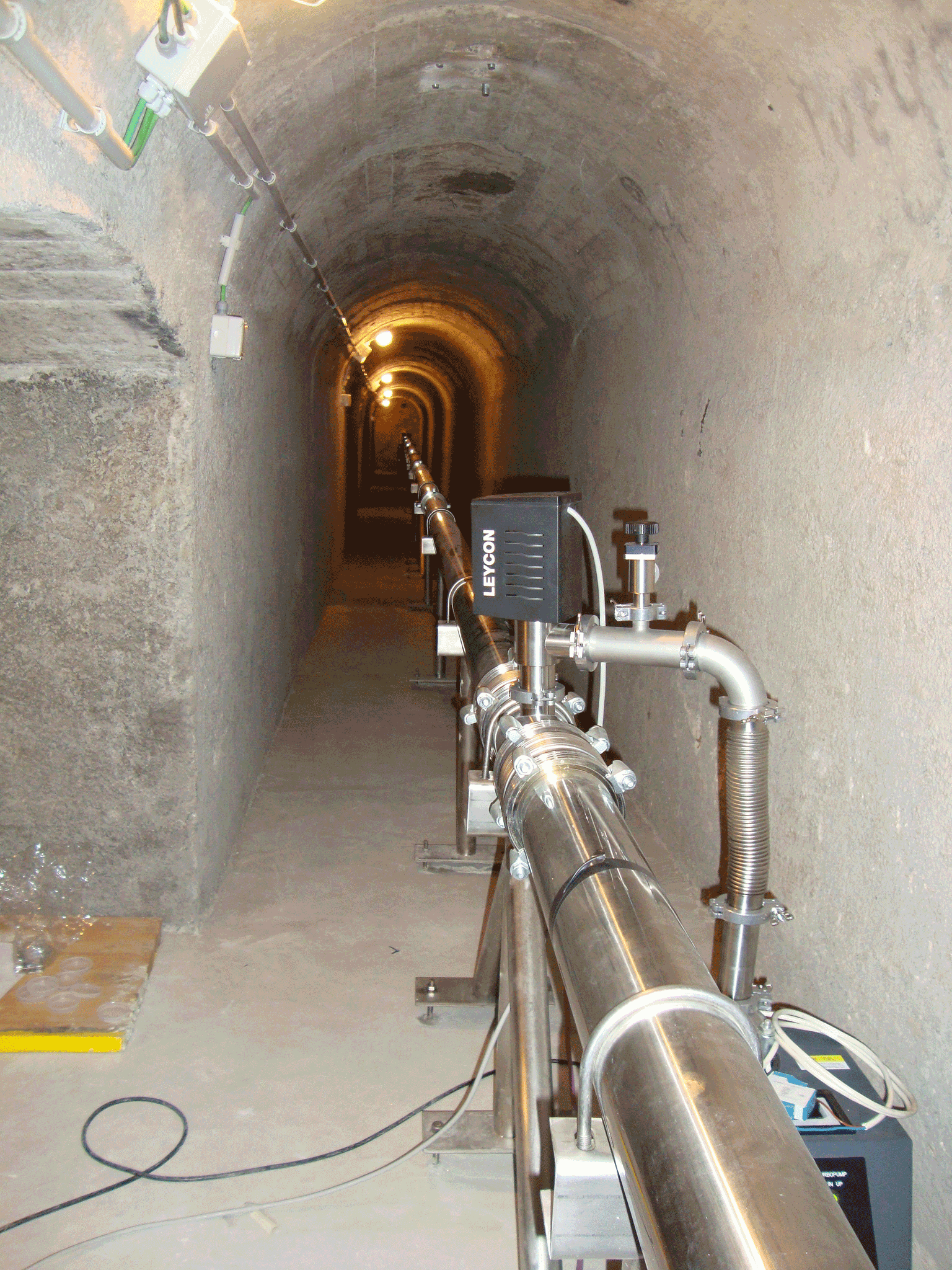
two continuous GPS stations at the surface, and a broad-band seismometer, an accelerometer and two high-resolution laser strainmeters installed inside the tunnel. Three different teams: Seismic (CSIC, Barcelona), GPS (University of Barcelona) and Laser Interferometer (University of Salerno) are involved in the Geodyn Structure. The seismic sensors (broad-band seismometer and accelerometer) and the two CGPS antennas and recorders have been working correctly during 2018. Both interferometers have recorded data on a regular basis until July 2018. Last September two tiltmeters were installed (microradian level) on the top of both end-monuments of the LAB780 interferometer. The tiltmeters were kindly lent by INGV (National Institute of Geophysics and Volcanology, Italy) and, being originally bore-hole instruments, modified to be used as surface tiltmeters. Tilt data are regularly recorded since then, but at least one-year data are necessary to draw any conclusion about the possible (although surprising) instability observed in LAB780. In September 2018, an official agreement document has been signed between the LSC and the C.S.I.C. in order to regulate the scientific exploitation of the data recorded by the seismic instruments located in the Geodyn facility. This agreement will provide a legal framework to the ongoing collaboration between both institutions.